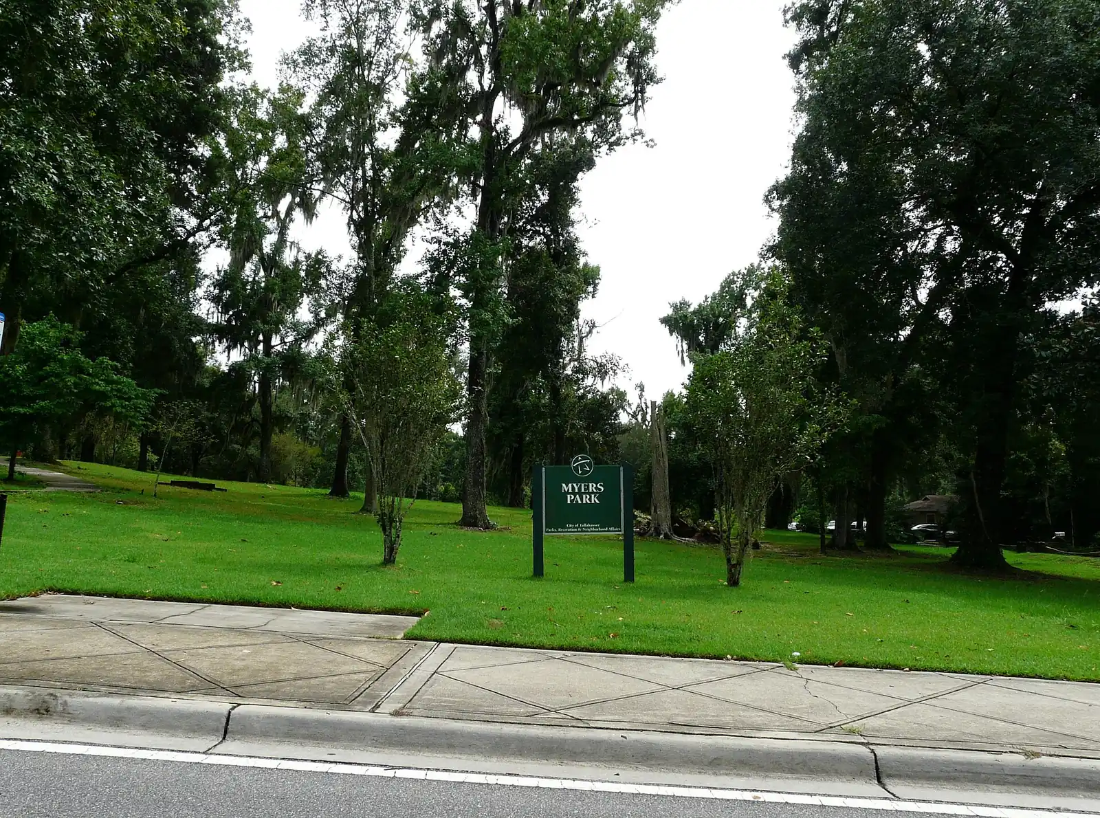
Myers Park covers about 460 acres southeast of downtown in ZIP 32301, around a 32-acre city park. It is zoned for Hartsfield, Cobb and Rickards High.
Last checked Oct. 10, 2026. Sources: the City of Tallahassee’s neighborhood registry on Tallahassee-Leon County GIS open data (with its address point, school zone, park and trail layers), the Florida Department of Education’s 2026 school grades, Zillow Research, StarMetro’s route pages and OpenStreetMap.
Myers Park is the neighborhood just southeast of downtown, built around the 32-acre city park that gives it its name. Our boundary is the area the city’s neighborhood registry maps for the Myers Park Neighborhood Association, about 460 acres. Its northwest corner falls inside the city’s Downtown Overlay, and about a quarter of it, in the south, lies inside the Southside Action Plan area.
What this means for you
- Zoned high school: Rickards High for nearly every address, graded C for 2026. Check an address with the School Zone Lookup.
- Home value: $211,953 in ZIP 32301 in August 2026, according to the Zillow Home Value Index.
- Nearest I-10 exit: Exit 199, U.S. 27 (North Monroe Street), about 5 miles by road.
Part of our Tallahassee neighborhoods guide.
Where it is
On the registry map, Myers Park runs from East Lafayette Street on the north to Magnolia Drive on the south and east, with South Monroe Street along its western side. Its streets, from Leon County’s address map, include South Gadsden and South Meridian streets, Golf Terrace Drive, Oakland Avenue, Pershing, Jennings, Perkins and Hart streets, Palmer Avenue and Myers Park Lane.
The county places about 580 addresses inside it, all in the city and all in ZIP code 32301. About three in 10 carry a unit number, which on the county’s map marks apartments, condos and offices; the rest are mostly houses.
Schools
From a sample of county address points checked against Leon County Schools’ zone maps:
| Level | School | Address | 2026 grade |
|---|---|---|---|
| Elementary | Hartsfield Elementary | 1414 Chowkeebin Nene | B |
| Middle | Cobb Middle | 915 Hillcrest St. | A |
| High | Rickards High | 3013 Jim Lee Road | C |
About 1% of the sample, at the northern edge, is zoned for Leon High instead of Rickards. Hartsfield rose from a C in 2025 and Cobb from a B. Check each address with the School Zone Lookup. More is in our schools guide.
Home values
Zillow does not publish a Myers Park value, so ZIP code 32301 is the closest guide. The Zillow Home Value Index put the typical home at:
| Area | August 2026 | August 2025 | Change |
|---|---|---|---|
| ZIP 32301 | $211,953 | $212,024 | 0.0% |
| Tallahassee (city) | $294,444 | $290,281 | +1.4% |
The index is a modeled typical value for the middle third of homes, not a sale price. ZIP 32301 also covers downtown and much of the south side, so it is a broad guide only. More is on our home prices page.
Parks and trails
From the city’s park layer, inside or at the edge of the neighborhood:
- Myers Park, 1190 Myers Park Drive, about 32 acres with a nature trail, a playground and tennis courts.
- Wade Wehunt Pool, 1206 Myers Park Drive.
- Country Club Park, 1601 Golf Terrace Drive, about 4 acres.
- Cascades Park, 1001 S. Gadsden St., at the neighborhood’s northwest corner.
The county trail inventory maps the Myers Trail inside the park, a loop path along the edge of the neighborhood and the Cascades Trail to the northwest. The city’s parks and recreation administrative offices are at 1201 Myers Park Drive. More is in our parks and trails guide.
Getting around
Measured on the road network from a point near the middle of the neighborhood:
- I-10 Exit 199, U.S. 27 (North Monroe Street): about 5 miles.
- City Hall, 300 S. Adams St.: about 1 mile.
- Tallahassee International Airport: about 7 miles.
These are distances, not drive times, measured with the OSRM routing engine on OpenStreetMap roads. StarMetro’s Gulf Route runs along South Magnolia Drive and Park Avenue on its way to C.K. Steele Bus Plaza downtown, according to the route pages. More is on our getting around guide.
Neighborhood groups
The city’s neighborhood registry lists the Myers Park Neighborhood Association for this area. It lists no homeowner associations inside it.
Groceries and everyday stores
OpenStreetMap places no supermarket inside the neighborhood. Just outside it:
- Walgreens, 414 S. Magnolia Drive, to the east.
- Community Co-op Market, 1235 Apalachee Parkway, to the northeast.
- Ross and Bealls, on Apalachee Parkway, to the northeast.
Related: Downtown Tallahassee, summer camps and pools and moving to Tallahassee.
Frequently asked questions
Where is Myers Park in Tallahassee?
Just southeast of downtown. The Myers Park Neighborhood Association’s mapped area runs from Lafayette Street south to Magnolia Drive, east of South Monroe Street, around the 32-acre city park of the same name.
What schools is Myers Park zoned for?
Hartsfield Elementary (B for 2026), Cobb Middle (A) and, for nearly every address, Rickards High (C), from Leon County Schools’ zone maps.
What is the typical home value in Myers Park?
Zillow does not publish a Myers Park figure. In ZIP code 32301, which covers the whole mapped area, the Zillow Home Value Index was $211,953 in August 2026.
Does Myers Park have a pool?
Yes. The city’s Wade Wehunt Pool is at 1206 Myers Park Drive, next to the park.
Have your say