Isaias brought 2.77 inches of rain and a 52 mph gust to Tallahassee. A tree set a house on fire. The Ochlockonee River is forecast to keep rising into Thursday.
Hurricane Isaias dropped 2.77 inches of rain on Tallahassee on Friday and brought a peak wind gust of 52 mph. That is according to the National Weather Service in Tallahassee’s daily climate report for Tallahassee International Airport.
The storm is gone, but the water it left is still moving. Several rivers and creeks in Leon County are running high, and the Ochlockonee River north of town is forecast to keep rising until Thursday.
How the storm landed
Isaias made landfall near Destin, about 140 miles west of Tallahassee, around 9:30 p.m. ET Friday. It had top sustained winds of 105 mph, a Category 2 hurricane, the National Hurricane Center said. By early Sunday it had become a post-tropical low about 65 miles southeast of Nashville, Tennessee, according to the latest advisory.
At the airport, the weather service recorded:
- Friday, Oct. 9: 2.77 inches of rain and a peak gust of 52 mph from the east. The record for the date is 3.22 inches, set in 1959.
- Saturday, Oct. 10: another 0.35 inches and a peak gust of 37 mph.
- October so far: 6.71 inches through Saturday. The normal for the first 10 days of the month is 1.21 inches.
Trees down and a house fire
A tree fell onto a home on Cavalcade Trail during the storm, and the house caught fire. The Tallahassee Fire Department was dispatched at about 9:35 p.m. Friday, the city said in a release.
Firefighters found smoke coming from the eaves, flames through the roof and downed power lines near the house. Heavy rain and strong winds made the fire harder to fight, the department said, but crews brought it under control. The homeowner was already outside, and no one was hurt. The American Red Cross was called to help the displaced resident. The cause is under investigation.
The weather service also logged fallen trees across Leon County on Friday in its preliminary local storm reports. Among them:
- trees on power lines at Armistead Road, and a large tree down at Tralee Road and Killala Way
- a pine tree on a parked car on Emerald Ridge Loop
- trees down near Mahan Drive and Winery Way, and at Miccosukee Road and Miles Johnson Road
- trees down at Chadwick Way and Pheasant Run Drive, and on County Road 12 at Beadle Road
- an uprooted tree near Timberland Road and Doe Run Road
The reports are preliminary and are not a full count of damage.
The rivers to watch this week
River levels are reported against the weather service’s own thresholds for each gauge. “Action” stage means the water is high enough that people near the river should be watching. “Minor” flooding is the first level at which the weather service expects flooding.
Readings and forecasts from the National Water Prediction Service as of early Sunday:
| Gauge | Where | Reading early Sunday | Status | Forecast |
|---|---|---|---|---|
| Ochlockonee River near Concord (County Road 12) | About 15 miles north | 31.29 ft | Below action (33 ft) | Crest near 34.9 ft early Thursday, below minor flood (36 ft) |
| Ochlockonee River near Havana (U.S. 27) | About 10 miles northwest | 19.43 ft | Below action (20 ft) | Rising to about 23.7 ft by early Friday, below minor flood (26 ft) |
| St. Marks River above Natural Bridge Road | About 13 miles southeast | 11.78 ft | Minor flood (11.5 ft) | No current forecast |
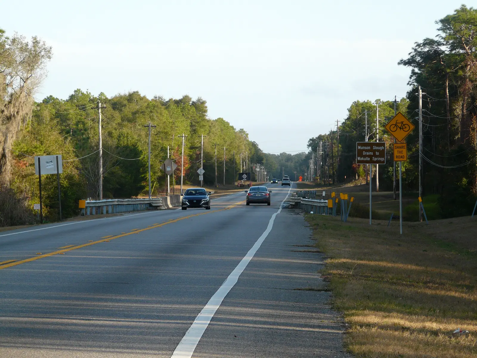
| Munson Slough at Ames Sink | South of the city | 13.82 ft | Action (11.5 ft) | No current forecast |
| Munson Slough at Capital Circle SW | Southwest Tallahassee | 27.97 ft | Just below action (28 ft) | No current forecast |
What those levels mean on the ground, in the weather service’s words for each gauge:
- Havana, 20 feet: the Tower Road boat ramp is subject to closure. The river is forecast to pass that mark Sunday afternoon.
- Concord, 36 feet: access to homes along County Road 12 on the east bank in Leon County may become restricted. The current forecast stays below this.
- St. Marks near Newport, 8.5 feet: parts of Natural Bridge Battlefield Historic State Park near the river begin to flood. That gauge, just downstream in Wakulla County, read 7.58 feet early Sunday.
No flood warning was in effect for Leon County as of Sunday morning, according to the weather service’s active alerts. Upstream, the weather service in Tallahassee has a flood warning for the Ochlockonee River near Thomasville, Georgia, about 30 miles northeast. That stretch of the river flows south into Leon County past the Concord and Havana gauges.
City services are back
City community centers reopened Saturday, the city’s storm updates page said. They include Jack McLean, Jake Gaither, Walker-Ford, Lawrence-Gregory and Sue McCollum community centers, Forestmeadows Athletics Center and the Palmer Munroe Teen Center. Hilaman Golf Course is open. Trousdell Aquatics Center is open 10 a.m. to 4 p.m. Sunday, and Wade Wehunt Pool 7 to 11 a.m.
City of Tallahassee Utilities has not published a total for how many customers lost power in the storm, or how many have been restored.
The city’s outage map shows verified outages that are still open. At 11:06 a.m. Sunday it listed seven open outages affecting 574 customers. One outage accounted for 553 of them, with a crew assigned. The map listed the cause of all seven as unknown, so it does not say whether they are storm damage.
If a fallen tree pulled the service wire off your house, the city’s power restoration page says an electrician must repair the weather head, mast or meter box first. The city reconnects after that work passes inspection. Most of the time, the city said, it is not known exactly when a single home will get power back.
What it means for you
- Still without power? Report it to City of Tallahassee Utilities at 850-891-4968, on the DigiTally app or at Talgov.com/Outage. Our power outage guide has the rest.
- Live or fish near the Ochlockonee? Check the Concord and Havana gauges before heading out. Forecasts change as new rain data comes in.
- Never drive through water over a road, and never go around a barricade, the city said before the storm.
- Storm debris and trash: see our trash and recycling guide for pickup rules.
- Next storm: hurricane season runs through Nov. 30. Our hurricane prep guide has sandbag sites, shelters and supply lists.
We will update this story when the Ochlockonee crests.
Have your say