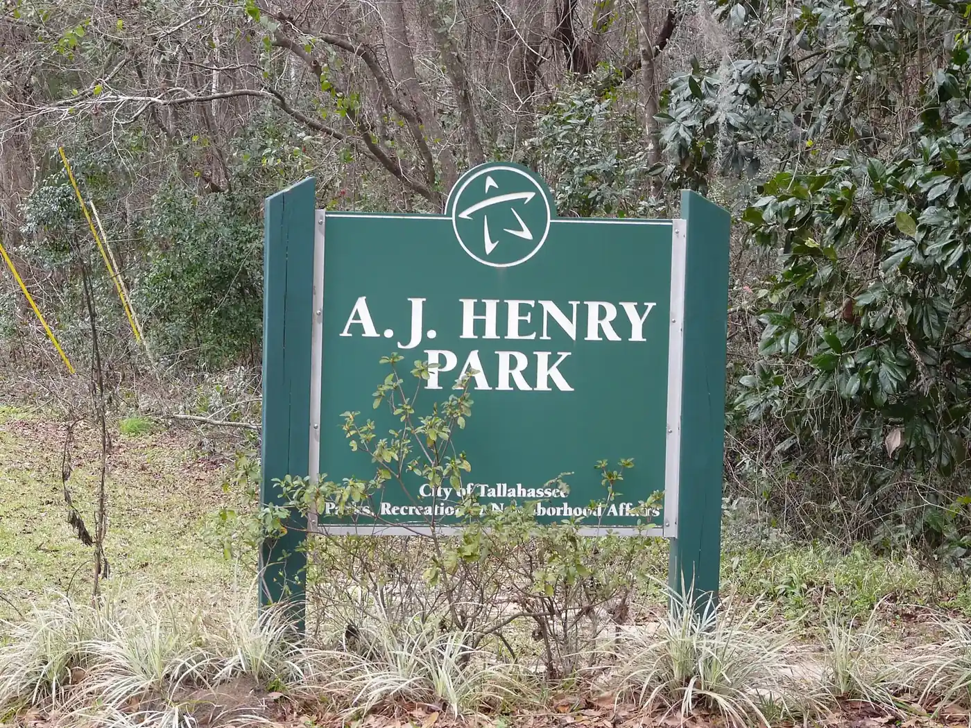
Killearn covers about 2,000 acres of northeast Tallahassee in ZIP 32309, around A.J. Henry Park. Most homes are zoned for Lincoln High, some for Chiles.
Last checked Oct. 10, 2026. Sources: the City of Tallahassee’s neighborhood registry on Tallahassee-Leon County GIS open data (with its address point, school zone, park and trail layers), the Florida Department of Education’s 2026 school grades, Zillow Research, StarMetro’s route pages and OpenStreetMap.
Killearn is the large residential area in northeast Tallahassee, north of Interstate 10 and east of Thomasville Road. Our boundary is the area the city’s neighborhood registry maps for the Killearn Homes Association, about 2,000 acres in several pieces, all inside city limits. StarMetro’s Killearn Route and Killearn Center Boulevard carry the name too.
What this means for you
- Zoned high school: Lincoln High for most addresses (B for 2026), Chiles High for the rest (A). Check an address with the School Zone Lookup.
- Home value: $400,007 in ZIP 32309 in August 2026, according to the Zillow Home Value Index.
- Nearest I-10 exit: Exit 203, U.S. 319 (Thomasville Road), about 3 miles by road.
Part of our Tallahassee neighborhoods guide.
Where it is
On the registry map, Killearn runs east from the Thomasville Road and Capital Circle Northeast area. Its busiest streets, from Leon County’s address map, are Shamrock Street, Shannon Lakes, Donovan Drive, Killarney Way, Gardenview Way, Bay Shore Drive, Limerick Drive and Tipperary Drive.
The county places about 3,100 addresses inside it, all in the city and all in ZIP code 32309. About one in 10 carries a unit number, which on the county’s map marks apartments, townhomes, condos and offices; the rest are mostly houses.
Schools
Killearn is split between zones. From a sample of county address points checked against Leon County Schools’ zone maps:
| Level | School | Address | Share of addresses | 2026 grade |
|---|---|---|---|---|
| Elementary | Gilchrist Elementary | 1301 Timberlane Road | about 32% | A |
| Elementary | Roberts Elementary | 5777 Pimlico Drive | about 28% | A |
| Elementary | DeSoto Trail Elementary | 5200 Tredington Park Drive | about 22% | A |
| Elementary | W.T. Moore Elementary | 1706 Dempsey Mayo Road | about 18% | B |
| Middle | Montford Middle | 5789 Pimlico Drive | all | A |
| High | Lincoln High | 3838 Trojan Trail | about 78% | B |
| High | Chiles High | 7200 Lawton Chiles Lane | about 22% | A |
Lincoln rose from a C in 2025. Because the elementary and high school zones split Killearn, check each address with the School Zone Lookup. More is in our schools guide.
Home values
Zillow does not publish a Killearn value, so ZIP code 32309 is the closest guide. The Zillow Home Value Index put the typical home at:
| Area | August 2026 | August 2025 | Change |
|---|---|---|---|
| ZIP 32309 | $400,007 | $389,545 | +2.7% |
| Tallahassee (city) | $294,444 | $290,281 | +1.4% |
The index is a modeled typical value for the middle third of homes, not a sale price. ZIP 32309 also covers areas north and east of Killearn. More is on our home prices page.
Parks and trails
The city’s park layer places one large park inside the mapped area:
- A.J. Henry Park, 2701 A.J. Henry Park Drive, about 75 acres with trails and a playground; details on the city’s A.J. Henry Park page.
The county trail inventory lists a Killearn Trails network as proposed, not yet built. More is in our parks and trails guide.
Getting around
Measured on the road network from a point near the middle of the area:
- I-10 Exit 203, U.S. 319 (Thomasville Road): about 3 miles.
- City Hall, 300 S. Adams St.: about 8 miles.
- Tallahassee International Airport: about 16.5 miles.
These are distances, not drive times, measured with the OSRM routing engine on OpenStreetMap roads. On StarMetro’s route pages, the Red Hills Route runs on Killearn Center Boulevard to the Village Square shopping centers, and the Killearn Route runs from C.K. Steele Bus Plaza up Thomasville Road to the Kerry Forest Parkway Shopping Center. More is on our getting around guide.
Neighborhood groups and HOAs
The city’s neighborhood registry lists the Killearn Homes Association for this area and one townhome association inside it.
Groceries and everyday stores
OpenStreetMap places the nearest stores just west of the mapped area, around Thomasville Road and Capital Circle Northeast:
- Publix, 3521 Thomasville Road.
- Trader Joe’s, 3425 Thomasville Road.
- The Fresh Market, 1390 Village Square Blvd.
- Walgreens, 3531 Thomasville Road, and CVS Pharmacy, 3479 Capital Circle NE.
Related: Bradfordville, Friday night football and moving to Tallahassee.
Frequently asked questions
Where is Killearn in Tallahassee?
In northeast Tallahassee, east of Thomasville Road and north of Interstate 10, about 8 miles by road from City Hall. The city’s registry maps the Killearn Homes Association area at about 2,000 acres, all inside city limits.
What high school is Killearn zoned for?
About 78% of addresses are zoned for Lincoln High (B for 2026) and 22% for Chiles High (A), from Leon County Schools’ zone maps. Every address in the sample is zoned for Montford Middle (A).
What is the typical home value in Killearn?
Zillow does not publish a Killearn figure. In ZIP code 32309, which covers the whole mapped area, the Zillow Home Value Index was $400,007 in August 2026, up 2.7% in a year.
Is Killearn the same as Killearn Lakes?
No. Killearn Lakes is a separate development farther north, in unincorporated Leon County. It is covered on our Bradfordville page.
Have your say