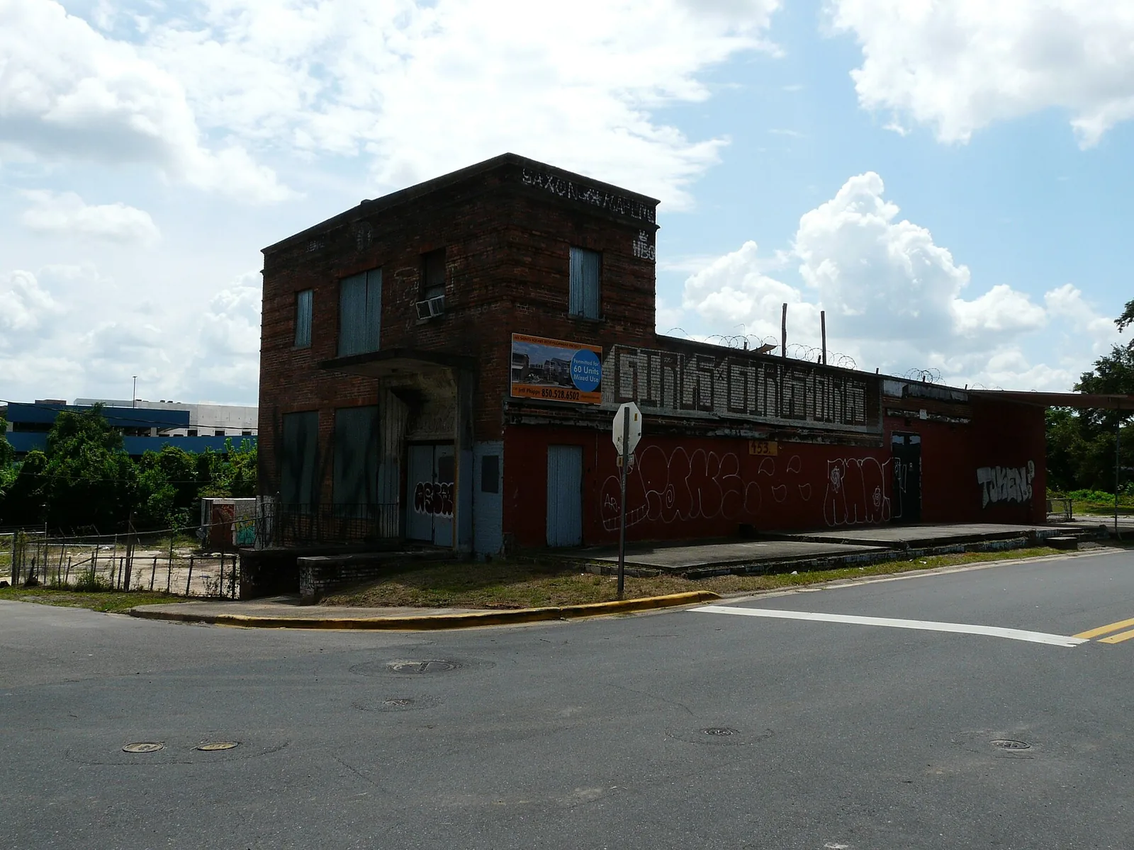
All Saints is a 73-acre district between Gaines Street and FAMU Way with about 530 addresses, nearly all apartments. Zoned for Bond, Nims and Leon High.
Last checked Oct. 10, 2026. Sources: the City of Tallahassee’s neighborhood registry, Downtown Overlay, Gaines Street Corridor and community redevelopment area maps on Tallahassee-Leon County GIS open data (with its address point, school zone and park layers), the Florida Department of Education’s 2026 school grades, Zillow Research, StarMetro’s route pages and OpenStreetMap, which marks All Saints and the neighboring College Town as named places.
All Saints is the small district on the southwest edge of downtown, between West Gaines Street and FAMU Way, with Railroad Square on its west side. Our boundary is the area the city’s neighborhood registry maps for the All Saints District Community Association, about 73 acres; the registry now lists that association as inactive. All of it lies inside the city’s Downtown Overlay, nearly all of it inside the Greater Frenchtown/Southside Community Redevelopment Area, and its north side sits in the city’s Gaines Street Corridor, a 458-acre area the city maps to carry out its Gaines Street revitalization plan.
What this means for you
- Zoned high school: Leon High, graded B for 2026. Check an address with the School Zone Lookup.
- Home value: $211,953 in ZIP 32301 in August 2026, according to the Zillow Home Value Index.
- Nearest I-10 exit: Exit 199, U.S. 27 (North Monroe Street), about 4 miles by road.
Part of our Tallahassee neighborhoods guide.
Where it is
On the registry map, All Saints runs from West Gaines Street south to West Van Buren Street and FAMU Way, and from Railroad Square east toward South Macomb Street. Its streets, from Leon County’s address map, are Railroad Avenue, St. Michael Street, St. Francis Street, All Saints Street, South Martin Luther King Jr. Boulevard and Van Buren Street, plus the Railroad Square addresses on the west side.
The county places about 530 addresses here, all in the city: about 60% in ZIP code 32301 and 39% in 32310. Nearly nine in 10 carry a unit number, which on the county’s map marks apartments and condos. Railroad Square has its own page: Railroad Square Art District.
Schools
From a sample of county address points checked against Leon County Schools’ zone maps, the whole district shares one set of schools:
| Level | School | Address | 2026 grade |
|---|---|---|---|
| Elementary | Bond Elementary | 2204 Saxon St. | A |
| Middle | Nims Middle | 723 W. Orange Ave. | D |
| High | Leon High | 550 E. Tennessee St. | B |
A few addresses at the edge, about 3% of the sample, are zoned for Sabal Palm Elementary instead of Bond. Check each address with the School Zone Lookup. Grades are the Florida Department of Education’s 2026 results. More is in our schools guide.
Home values
Zillow does not publish an All Saints value, so its two ZIP codes are the closest guide. The Zillow Home Value Index put the typical home at:
| Area | August 2026 | August 2025 | Change |
|---|---|---|---|
| ZIP 32301 | $211,953 | $212,024 | 0.0% |
| ZIP 32310 | $181,703 | $176,521 | +2.9% |
| Tallahassee (city) | $294,444 | $290,281 | +1.4% |
The index is a modeled typical value for the middle third of homes, not a sale price, and both ZIP codes cover far more than this district. More is on our home prices page.
Parks and trails
From the city’s park layer, inside or at the edge of the district:
- Doug Burnette Park, 400 W. Gaines St.
- Boulevard Park, 401 W. Gaines St., which has a dog park.
- Anita Favors Thompson Plaza, 203 FAMU Way, on the Cascades Trail, which the county trail inventory maps along the district’s southern side toward Cascades Park.
More is in our parks and trails guide and walking and biking trails guide.
Getting around
Measured on the road network from a point near the middle of the district:
- I-10 Exit 199, U.S. 27 (North Monroe Street): about 4 miles.
- City Hall, 300 S. Adams St.: less than 1 mile.
- Tallahassee International Airport: about 6 miles.
These are distances, not drive times, measured with the OSRM routing engine on OpenStreetMap roads. StarMetro’s Moss Route and Tall Timbers Route both stop at Railroad Avenue and West Gaines Street, according to the route pages. More is on our getting around guide.
Groceries and everyday stores
From OpenStreetMap:
- Publix, 625 W. Gaines St., inside the district.
- CVS Pharmacy, 822 W. Pensacola St., to the northwest.
Related: live music and nightlife, Downtown Tallahassee and moving to Tallahassee.
Frequently asked questions
Where is the All Saints district in Tallahassee?
On the southwest edge of downtown, between West Gaines Street and FAMU Way, with Railroad Square on its west side. The city’s registry maps the All Saints District Community Association area at about 73 acres.
What schools is All Saints zoned for?
Bond Elementary (A for 2026), Nims Middle (D) and Leon High (B), from Leon County Schools’ zone maps. Check each address with the district’s School Zone Lookup.
What is the typical home value near All Saints?
Zillow does not publish an All Saints figure. In ZIP code 32301, which holds about 60% of its addresses, the Zillow Home Value Index was $211,953 in August 2026.
Is there a grocery store in All Saints?
Yes. OpenStreetMap places a Publix at 625 W. Gaines St. inside the district.
Have your say